
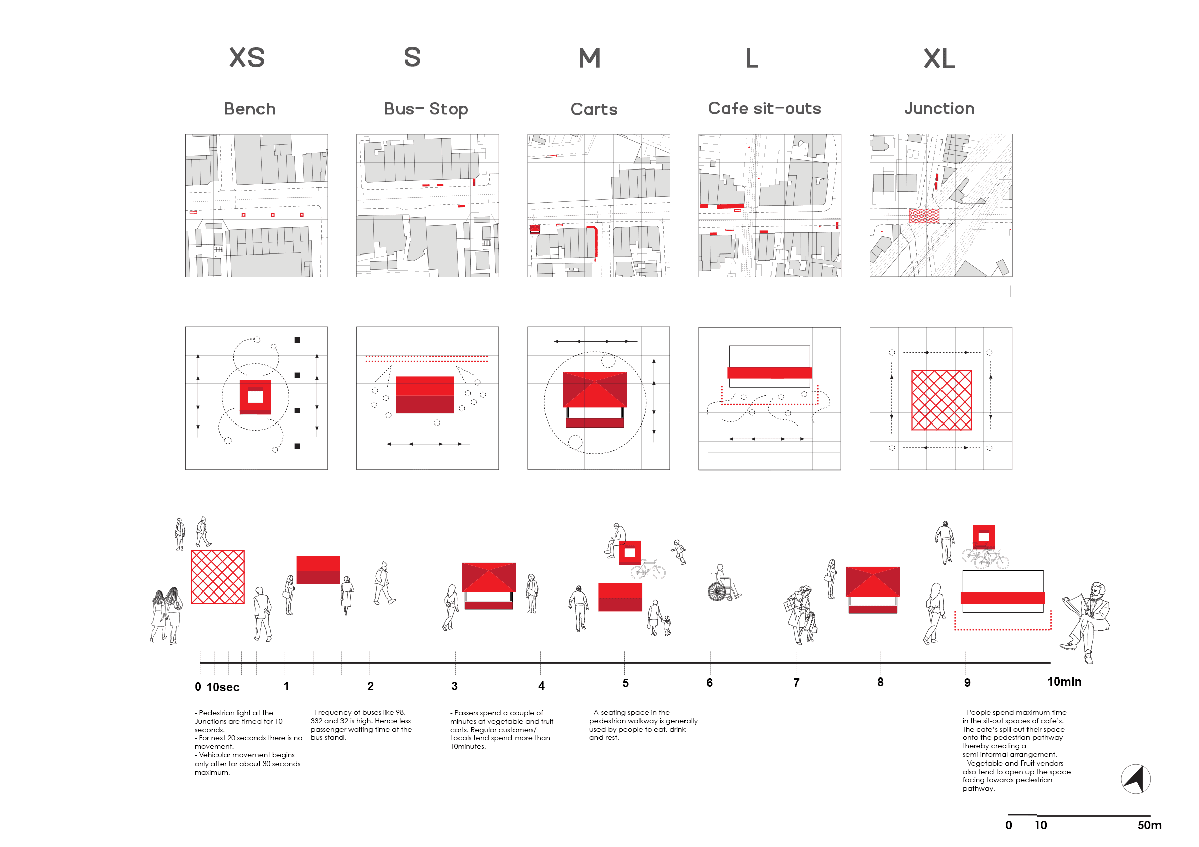
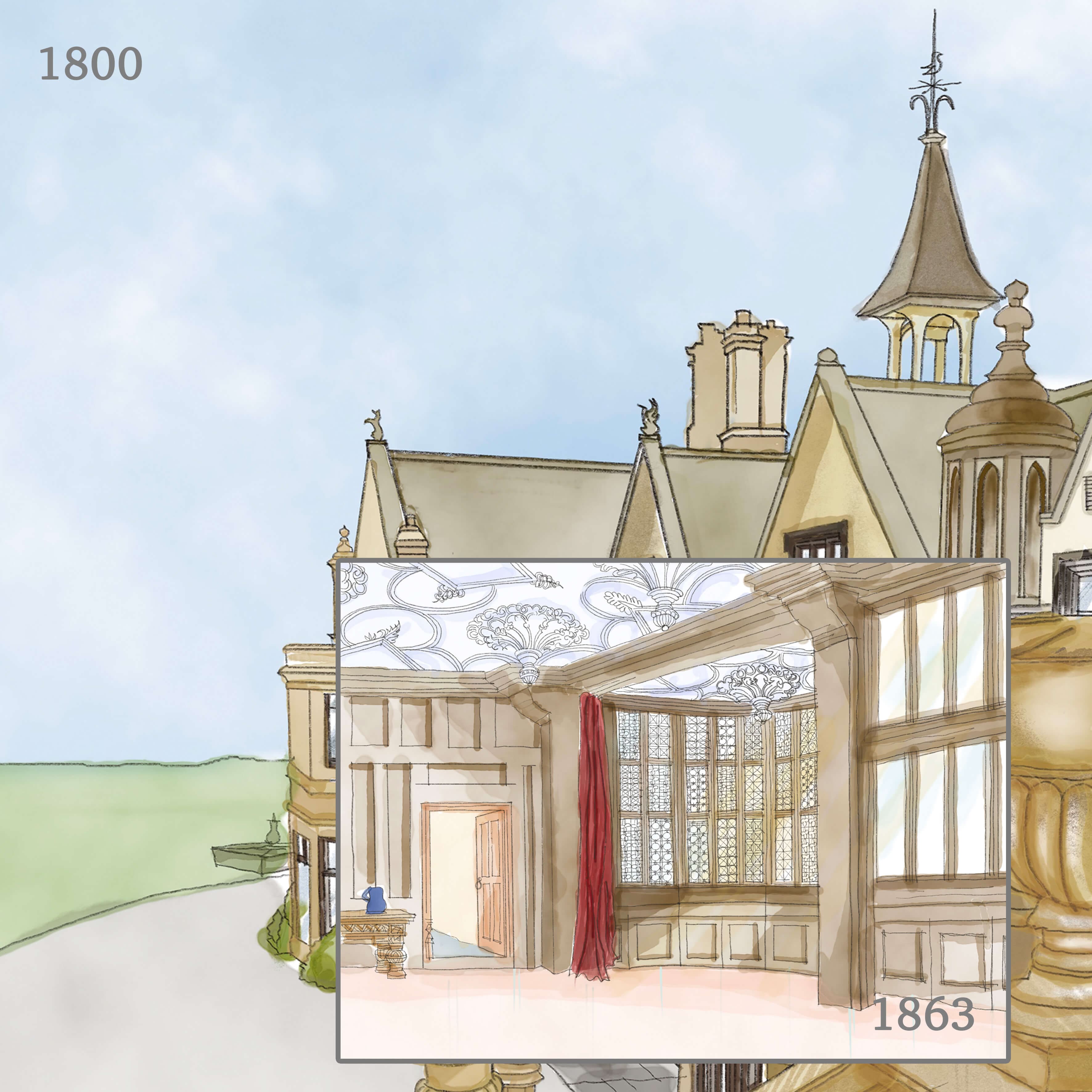
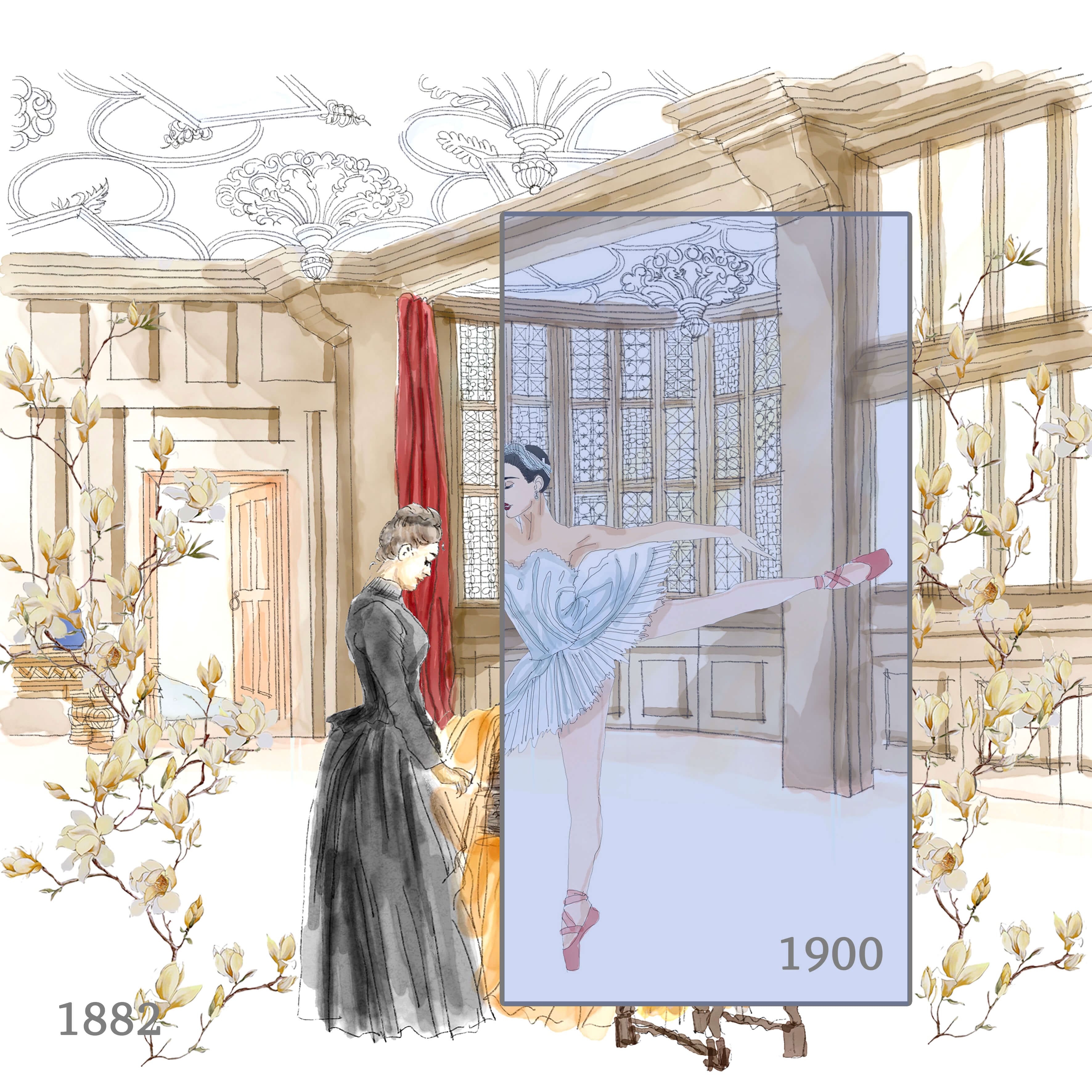
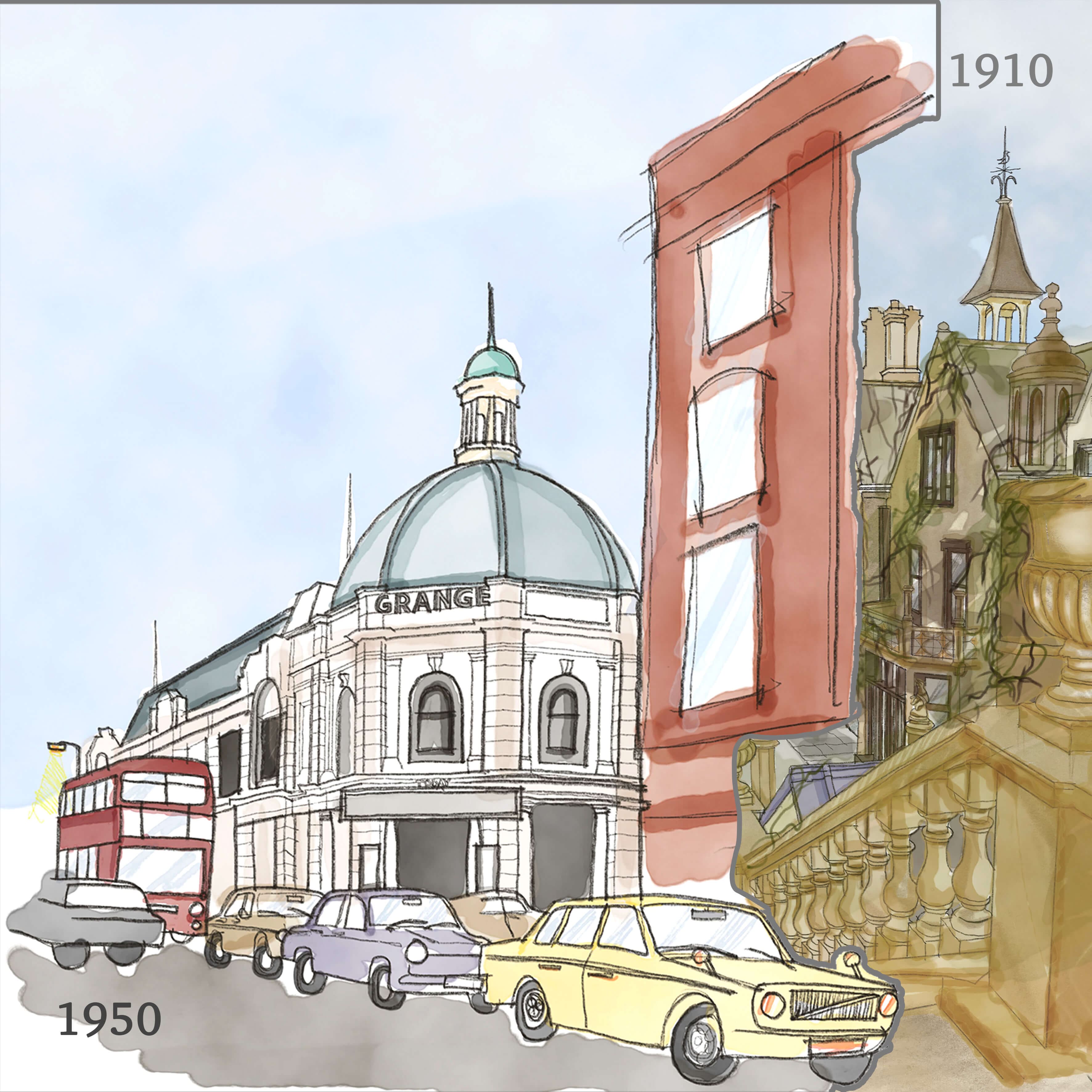
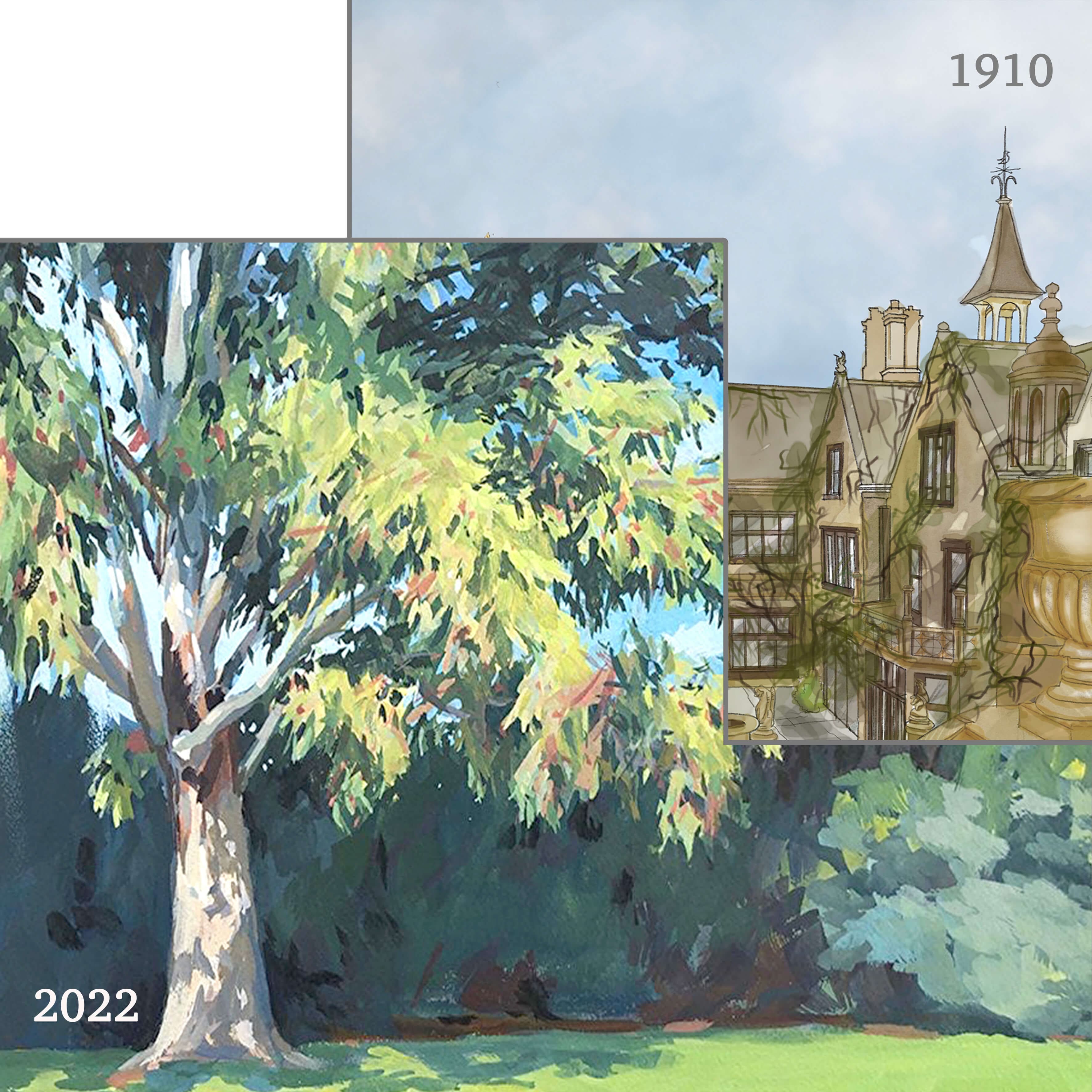
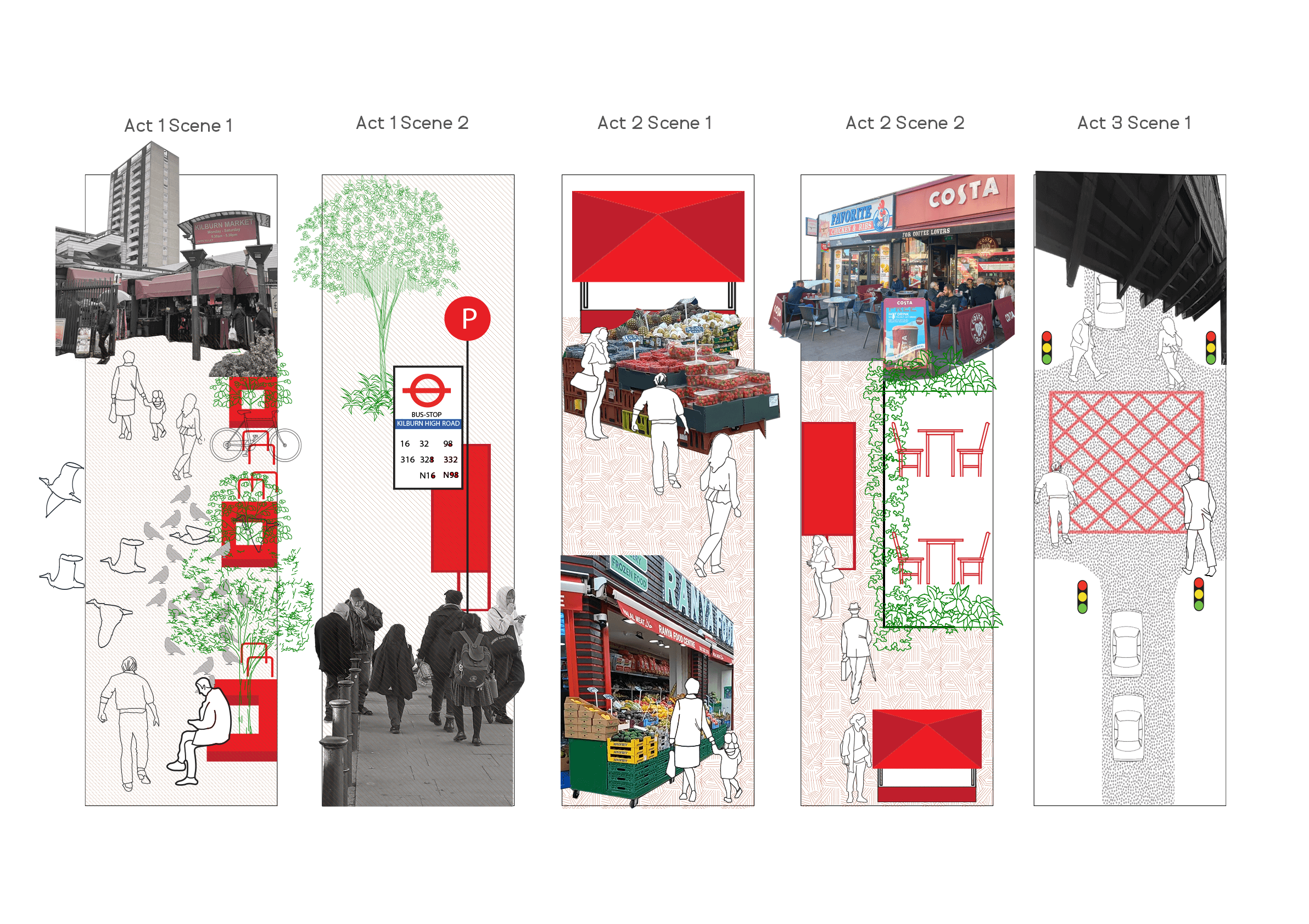
The idea of this platform is rooted in the studies carried out by both its creators in their independent capacity. Both studies had many similar themes based on which a shared vision towards public parks and green spaces was developed.
The studies explored the concept of time and socio-spatial relations in public space.
As a result, conclusion around re-appropriating public spaces by its users, thereby creating areas of negotiation in the urban realm were drawn.
Learn More
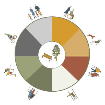
Parks contribute to the physical,
mental and social well-being of its users
Parks provide a sense of enclosure and centrality to the neighbourhood and helps to establish an identity for the area. Hence, parks need to be approached from socio-spatial lens.
Parks are a tangible reflection of the liveability of the neighbourhood.
Hence, parks can be a measurement to evaluate larger urban challenges of economic and social inequity of the area.
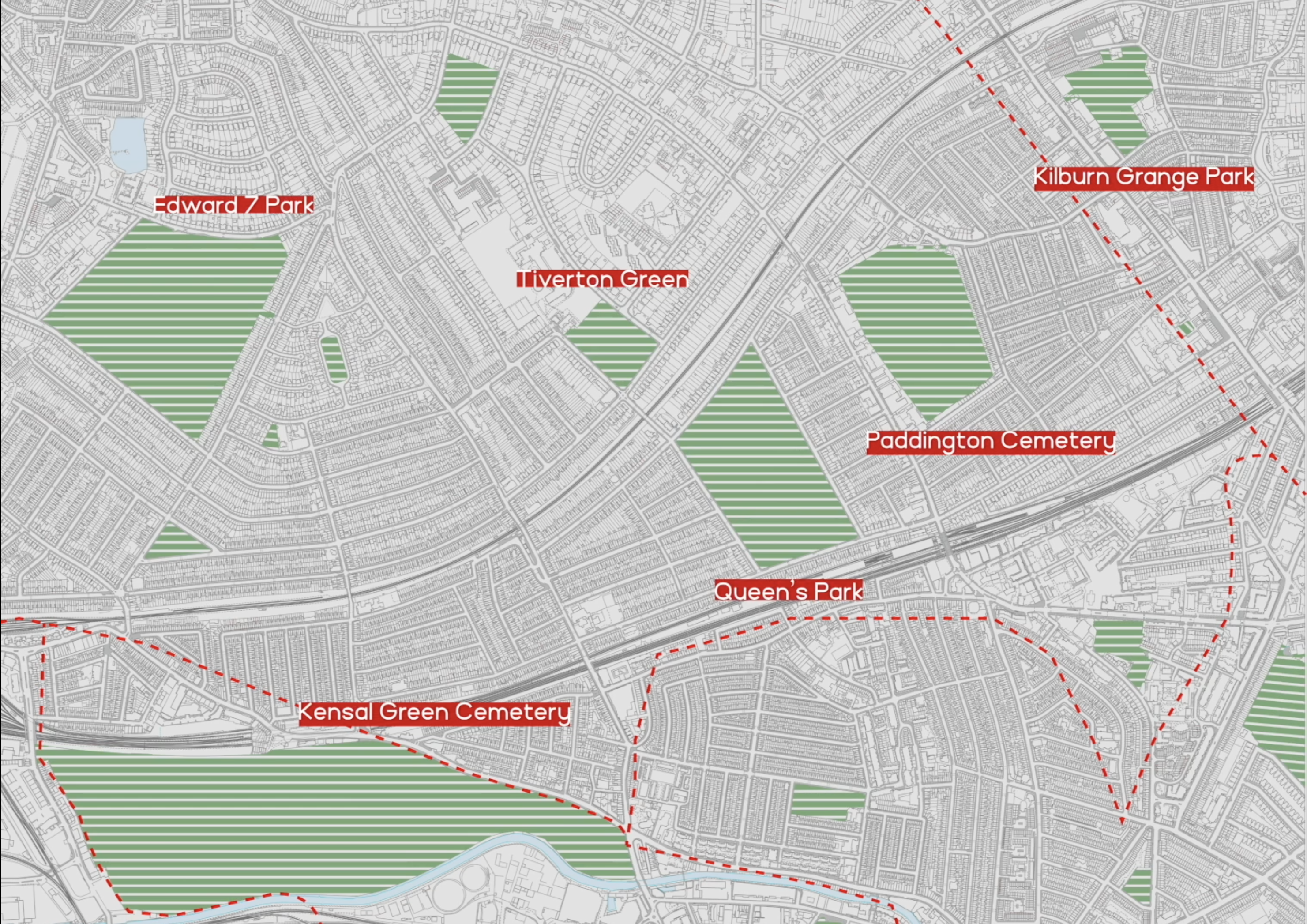
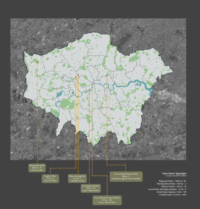
London parks are a tourist attraction. However, the focus has been on regional and national parks.
project intends to draw attentions towards green spaces on a smaller scale and their impact on the quality of life in the vicinity.
It recognizes the Mayor of London’s 2021 ambitious plan of creating 50% of London green.
In support of this argument, the project proposes methods of not just creating, but rather sustaining the existing network by recognising and developing areas with inequitable green infrastructure.
The project focuses on the methodology of planning public spaces, particularly green spaces. It proposes a structure for public engagement and further reviews the position of architects and urban planners in the participation process.
How can we evaluate the symbiotic relationship between parks and their neighbourhood?
To address this, we further sub-divided the question into the following:
- Where are parks in London?
- Are well-maintained parks only in affluent areas?
- Do parks and green spaces reflect the overall prosperity of the neighbourhood?
- How does spatial restructuring change the usage of parks?
- How can parks develop their own economy?
- What types of funding mechanisms can be developed?
- Are parks only for social and community gatherings?
- Can a park as a public space have political and social implications?
Kindly click this box for further information
Methodology
The crux of the project is the methodology and the conclusions formed thereafter using the method. For this purpose, a structural framework has been created to form a holistic conclusion involving various stakeholders in the planning process.
The framework is flexible and can be modified based on the intended site of intervention.
It consists of the following broad categories:
Mapping past and present conditions

Assessing the green infrastructure and tree inequity on site

Designing a toolkit

Proposing a possible action

Mapping Stakeholders

Sharing the proposal with a wider audience

Mayor of London Plan 2021
London was declared as a National Park City in 2019. With 3,000 parks contributing to around 18% of surface area, the Mayor of London plan of 2021 aims to turn 50% of London green. This ambitious project with a grand title of ‘National Park City’ aims to make London greener and healthier for its residents and visitors. There is a fear that as London gets denser, adequate funds to maintain and sustain parks and green spaces might be shorthanded. There is a need to diversify funding mechanisms to maintain the usability of parks as public spaces.
3000
parks covering around
18%
surface area
London declared as world’s first
National Park City
Reference :
Data from Greenspace Information for Greater London CIC 2022:
https://www.gigl.org.uk/our-data-holdings/keyfigures/
Mayor of London Plan 2021:
https://www.london.gov.uk/sites/default/files/the_london_plan_2021.pdf
Review the Participation of Architects in Project Planning
The following diagram highlights the existing governing structure neighbourhood parks and the possible role of architects and urban planners in participatory process.
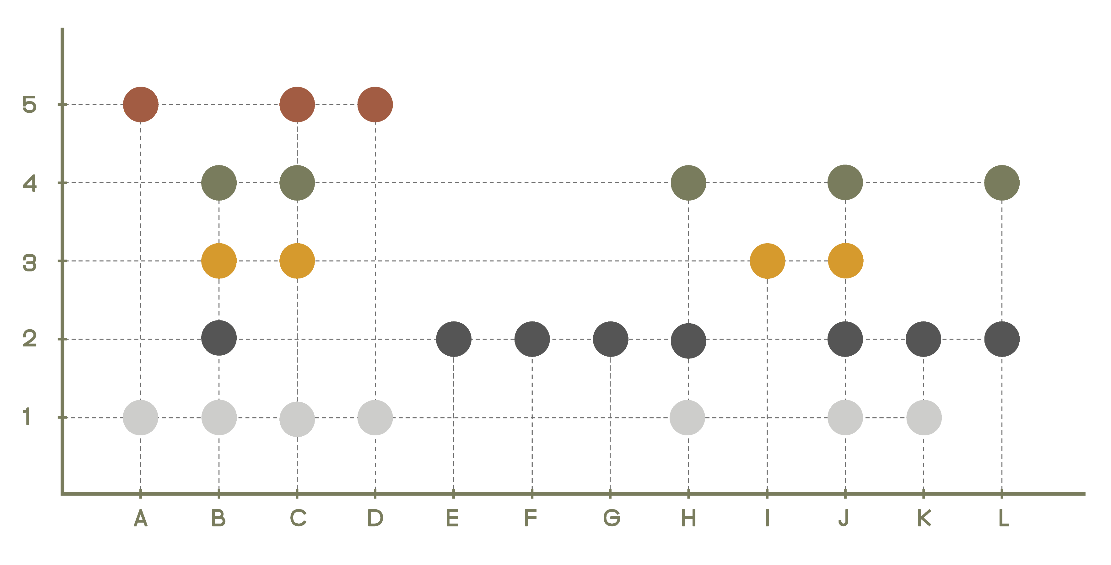
Legends:
Stakeholders1: General public/community
2: Government agency/policy makers
3: Partners - Private organizations and NGOs
4: Professionals in the built environments - Architects/Urban Planners
5: Internal management/nodal agency/park management
A: Report issues
B: Advertise solutions
C: Suggestions - complaints to improve
D: Feedback - evaluation of implemented solution
E: Moderation
F: Update informations on website
G: Make public declaration of policies and interventions
H: Visualize - map neglected inequitable areas
I: Provide local financial solution - investment to better the potential of green space
J: View comments - suggestions made by other users
K: Search for areas with tree inequity
L: Environmental impact by the intervention
Reflection
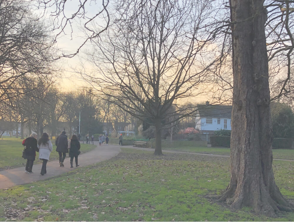
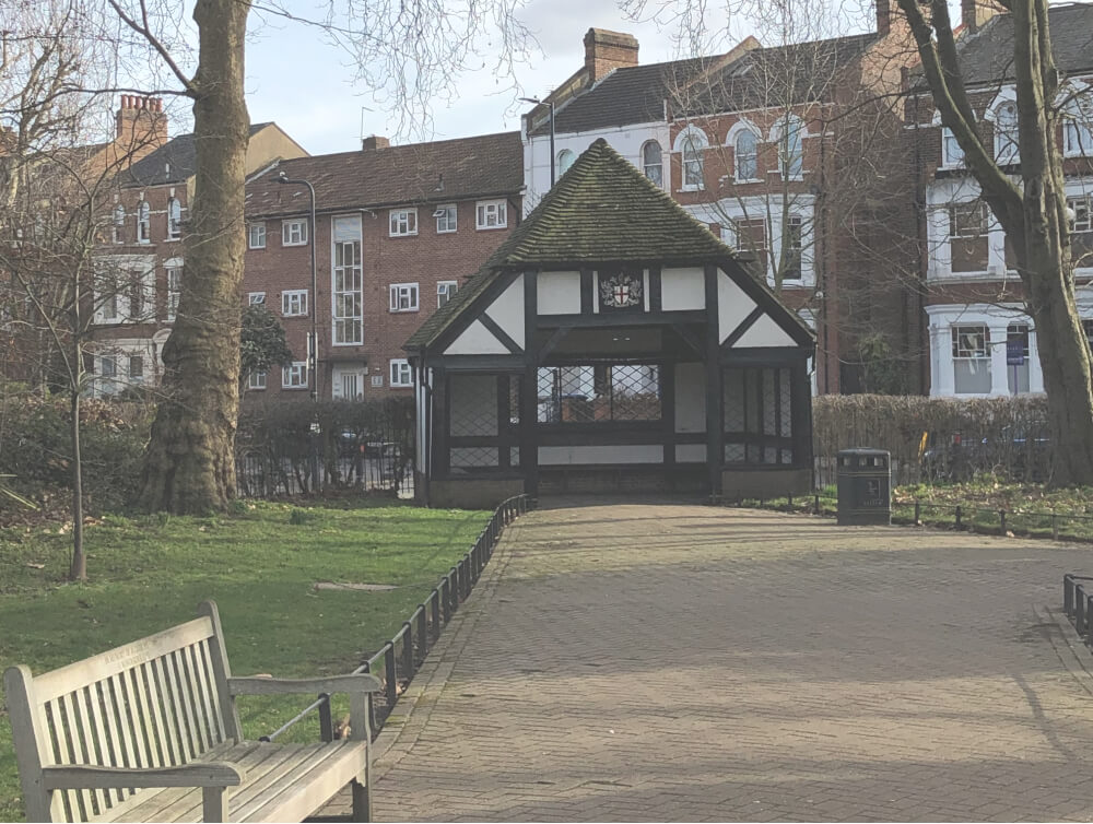
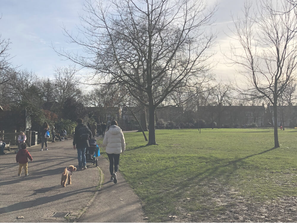
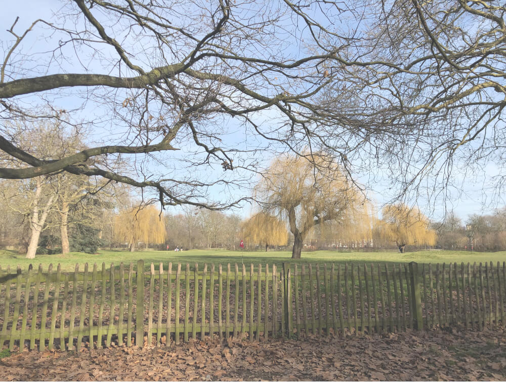
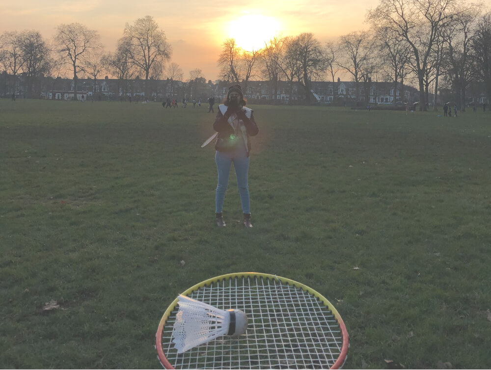
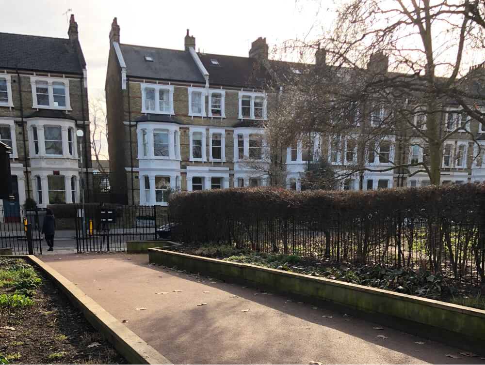
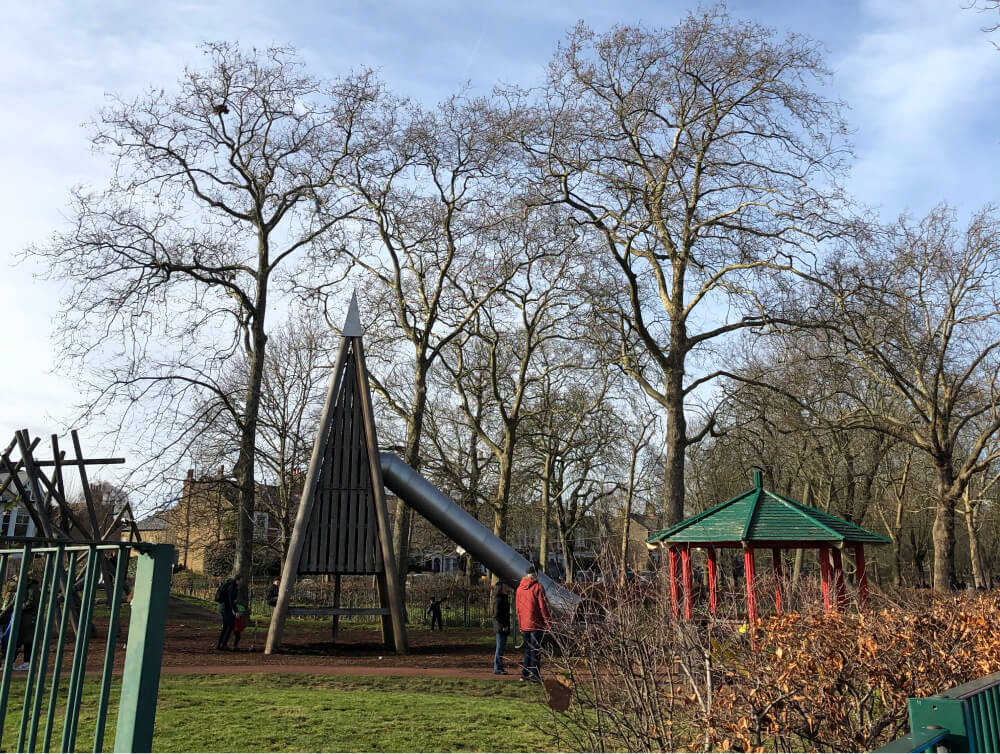
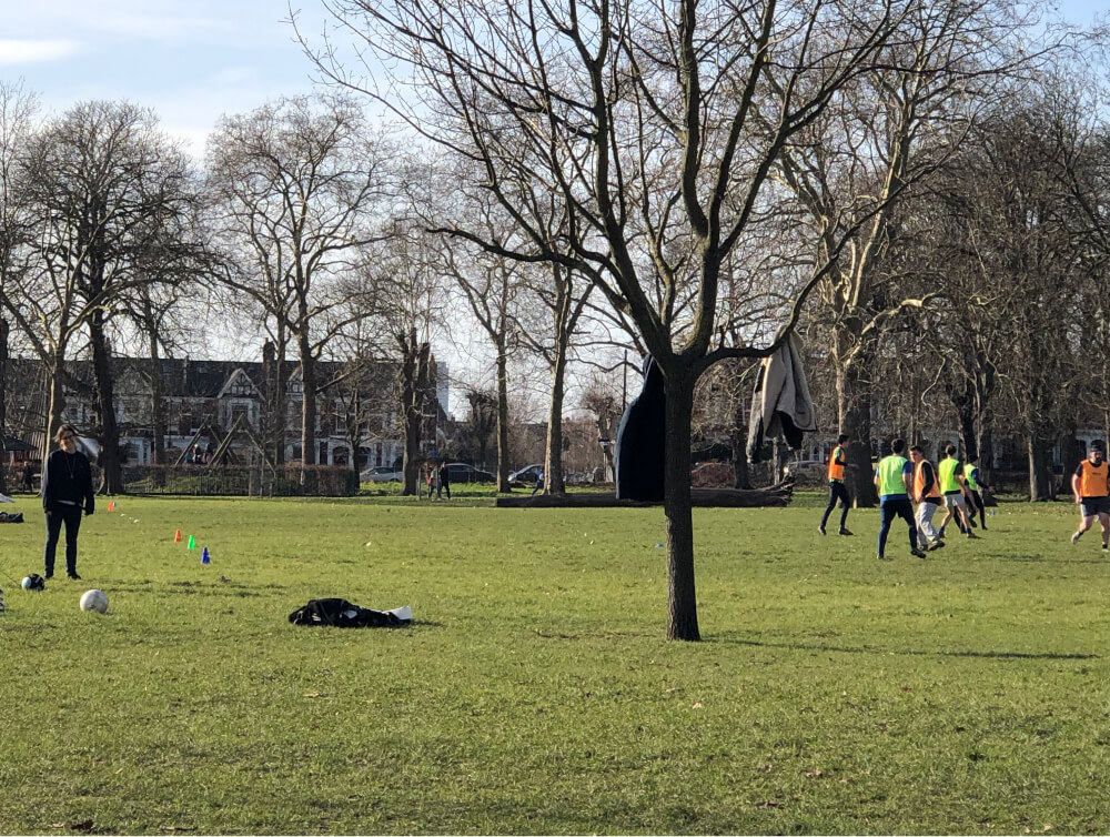
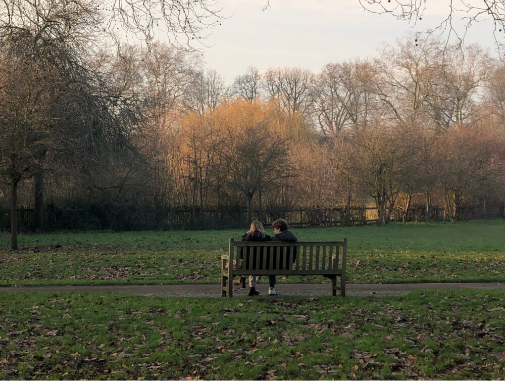
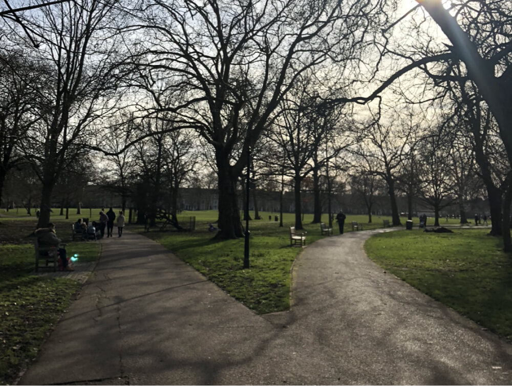
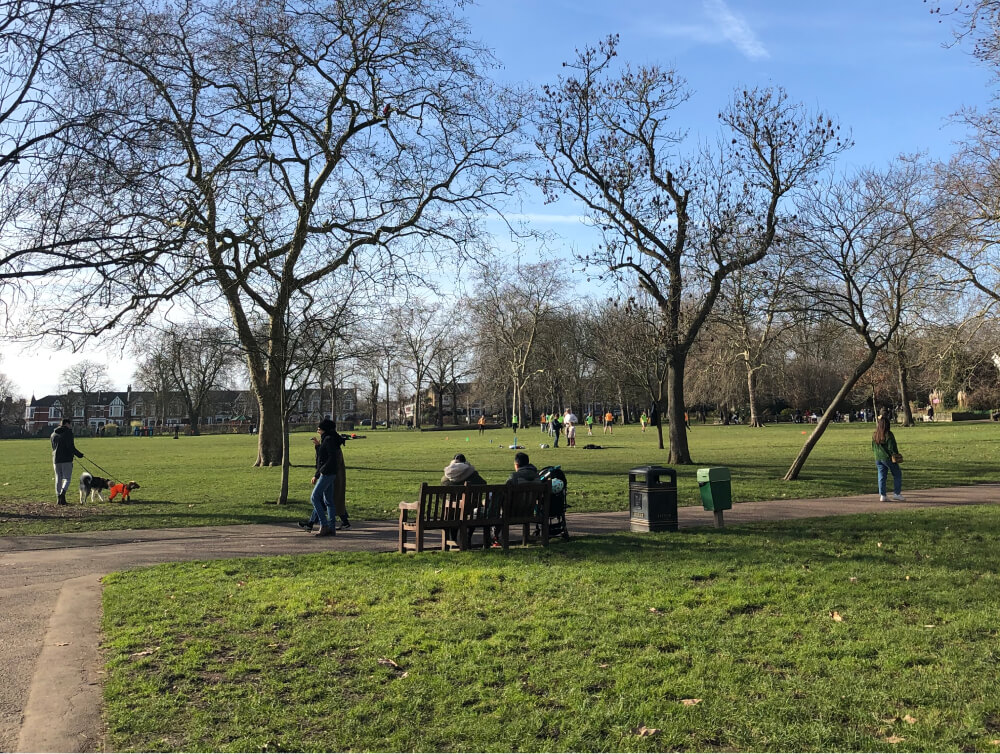
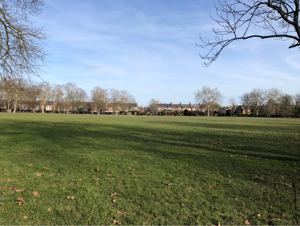
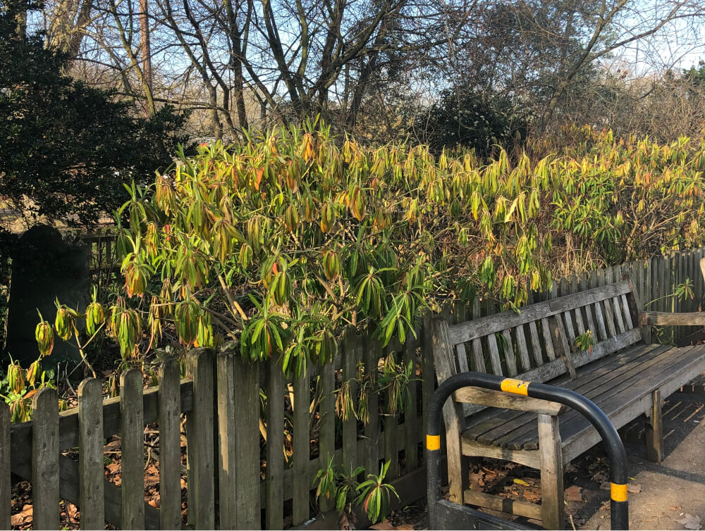
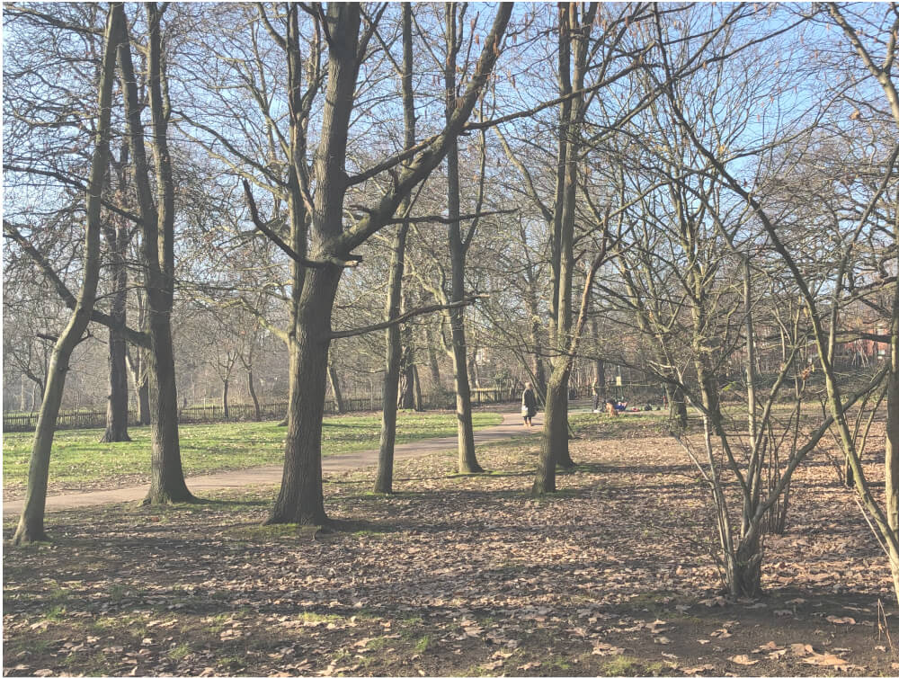
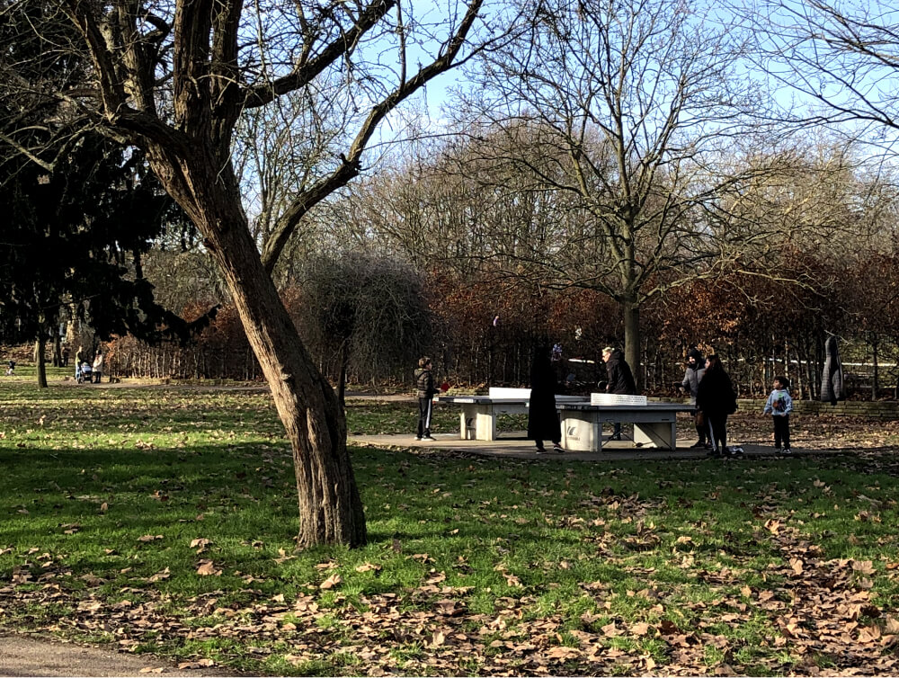
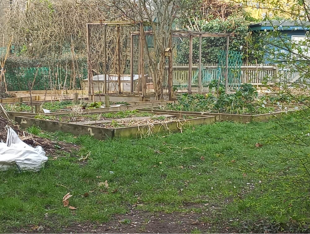
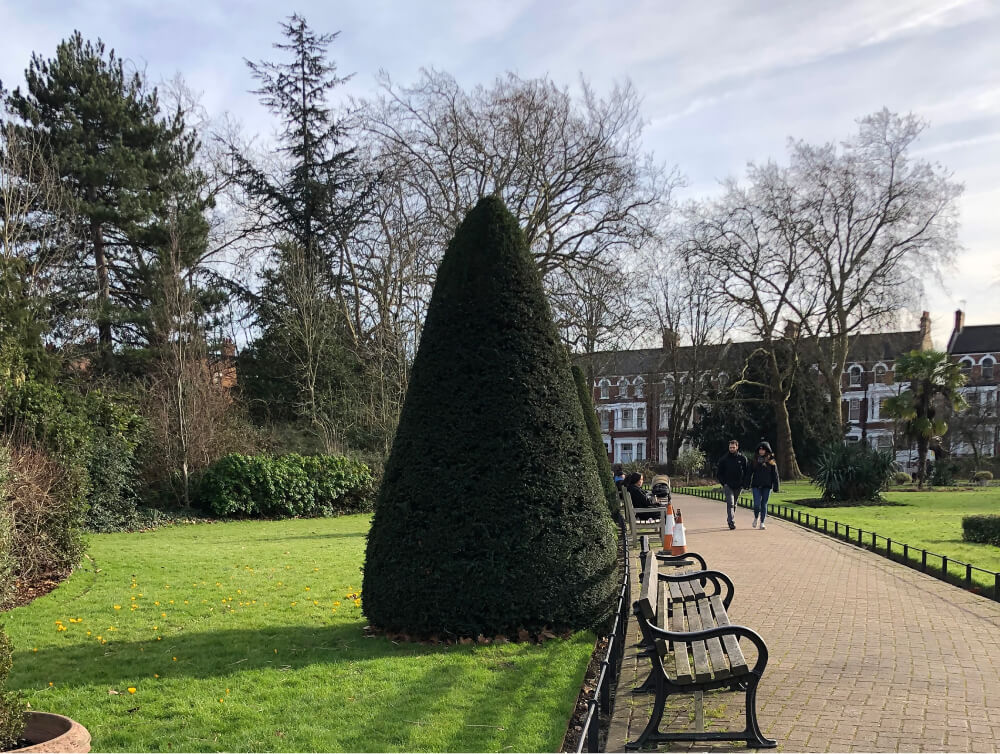
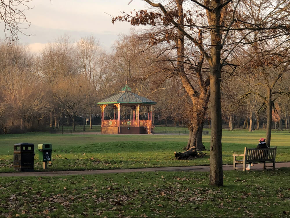
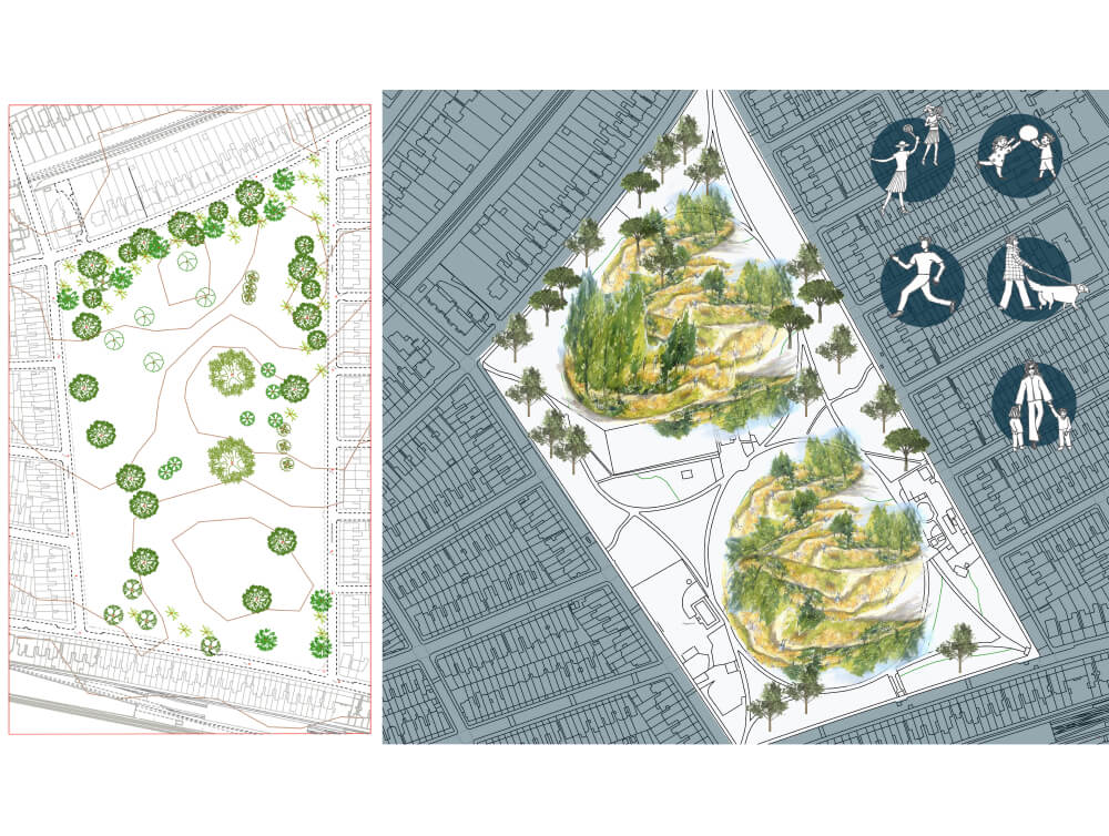
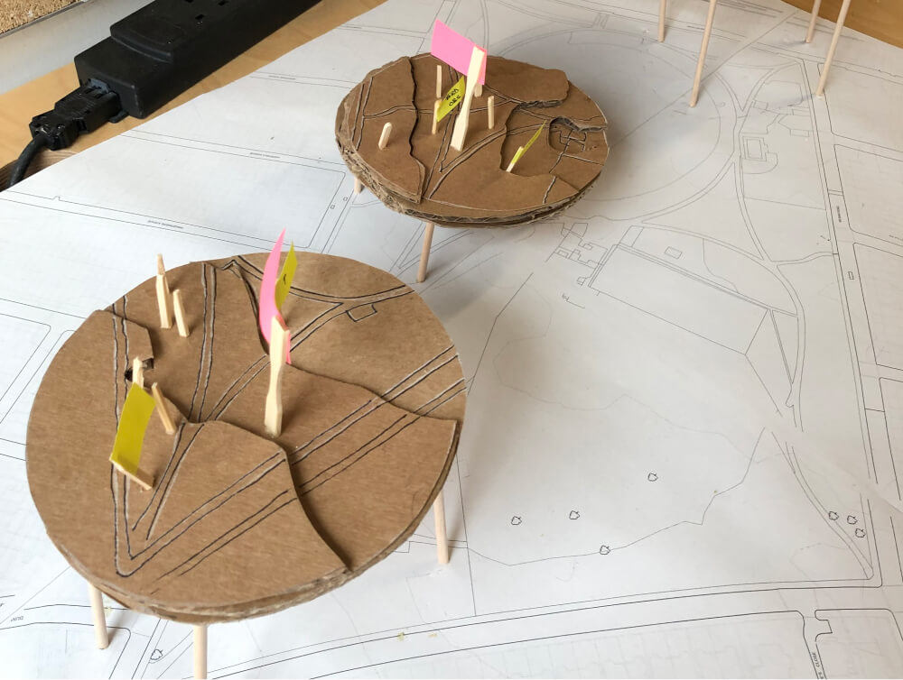
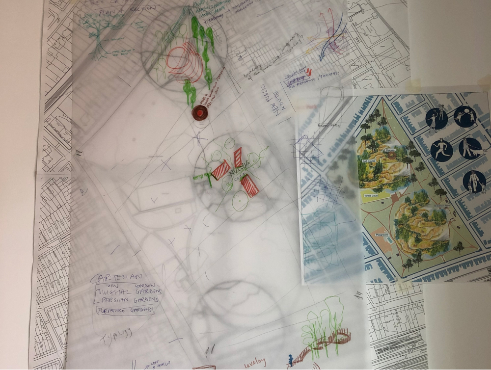
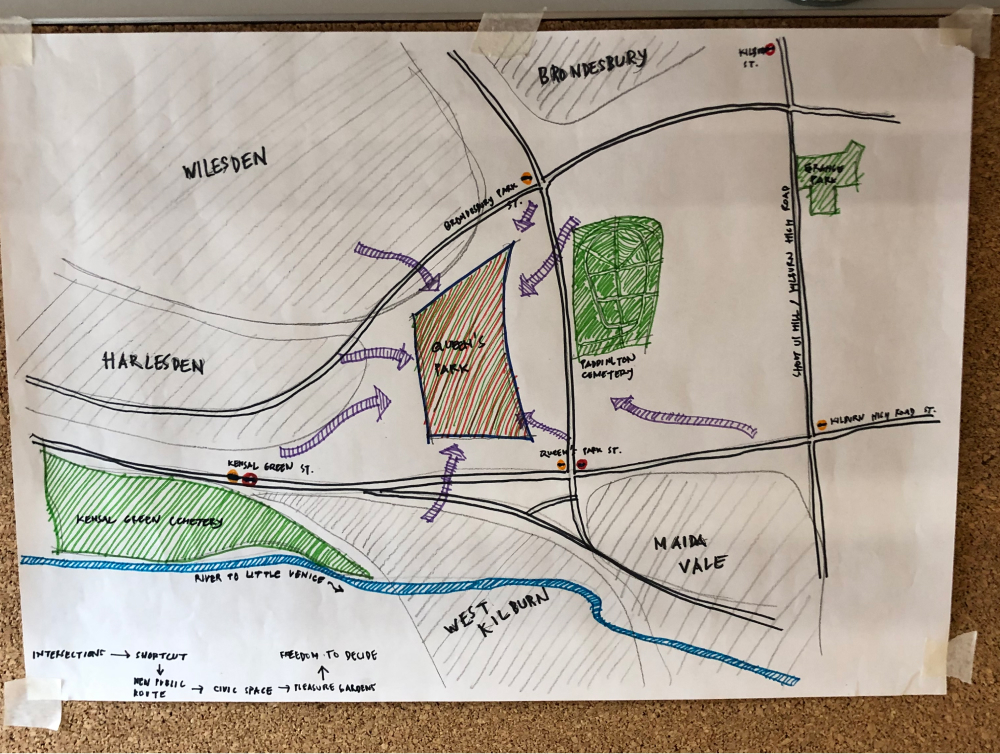
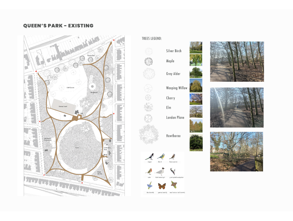
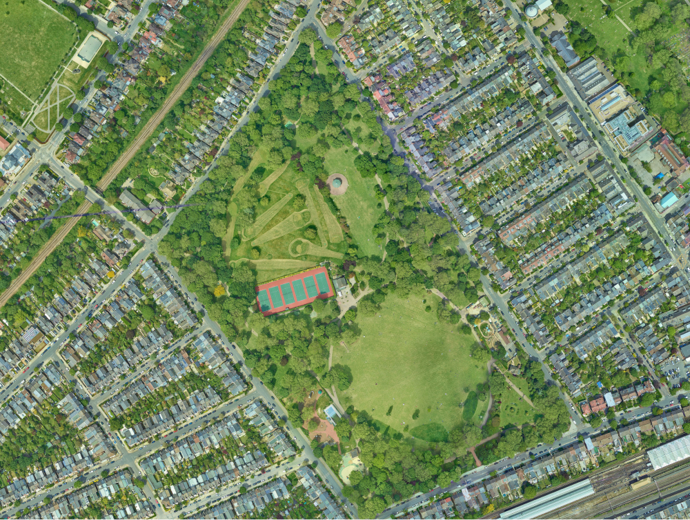
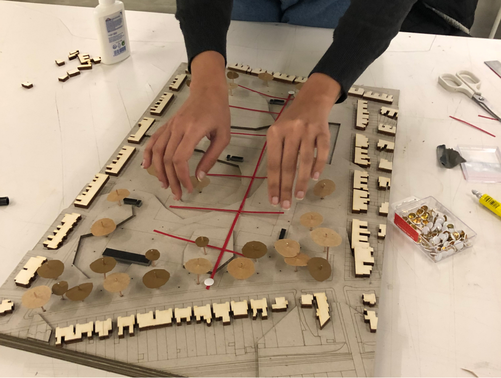
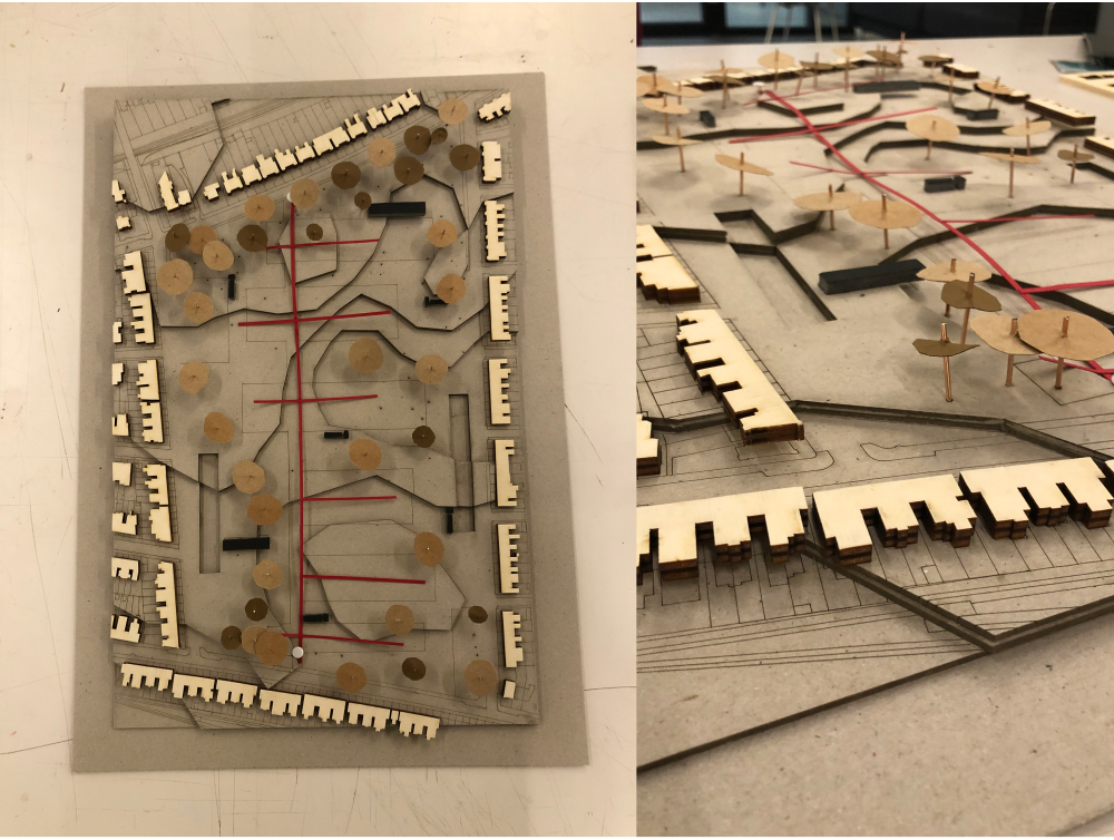
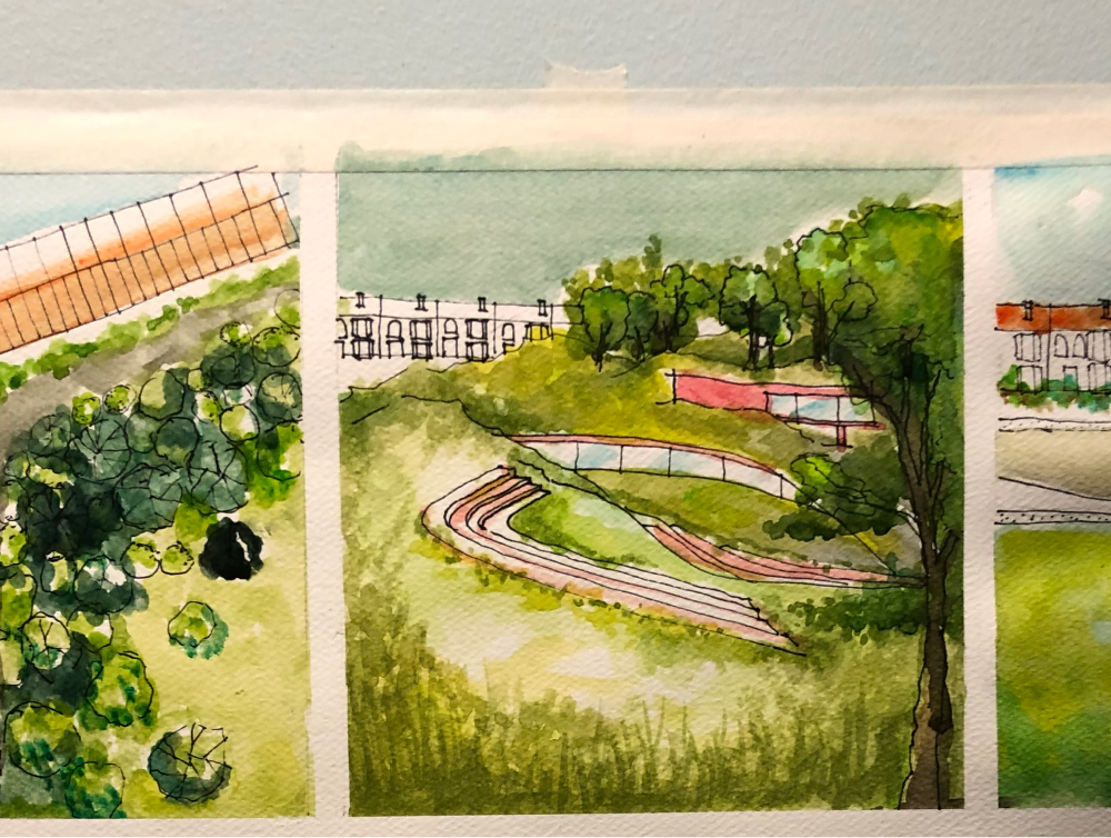
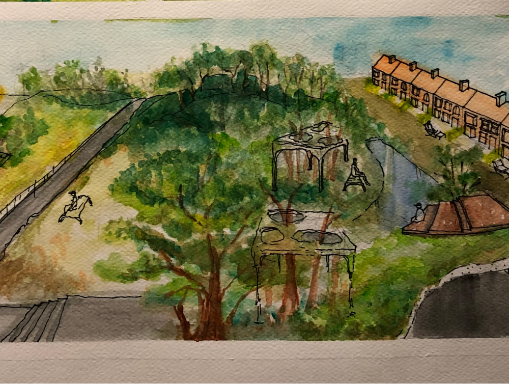
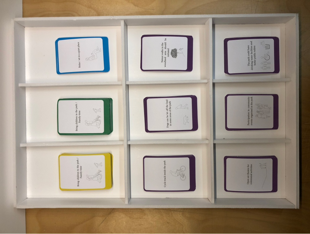
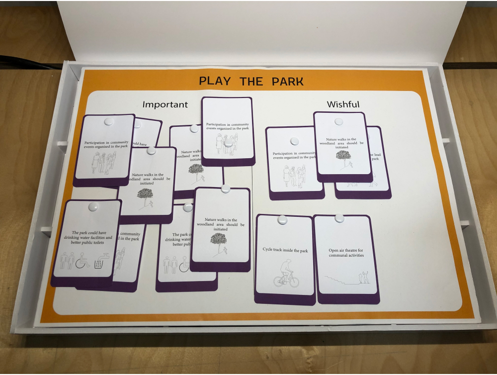
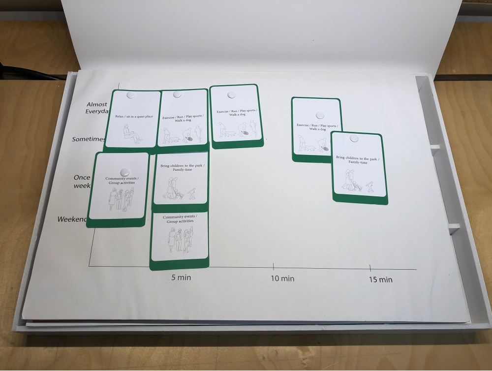
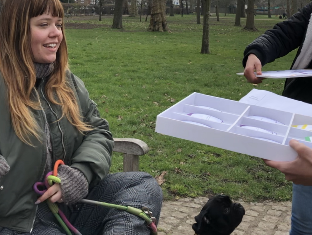
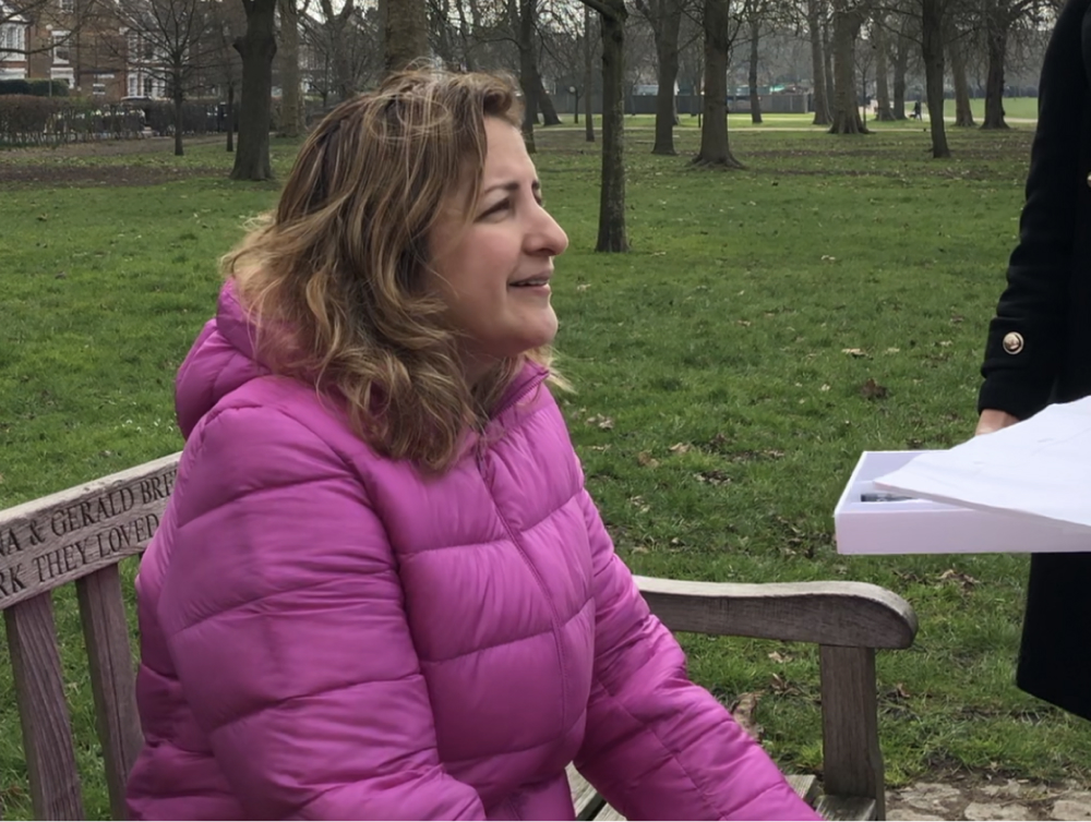
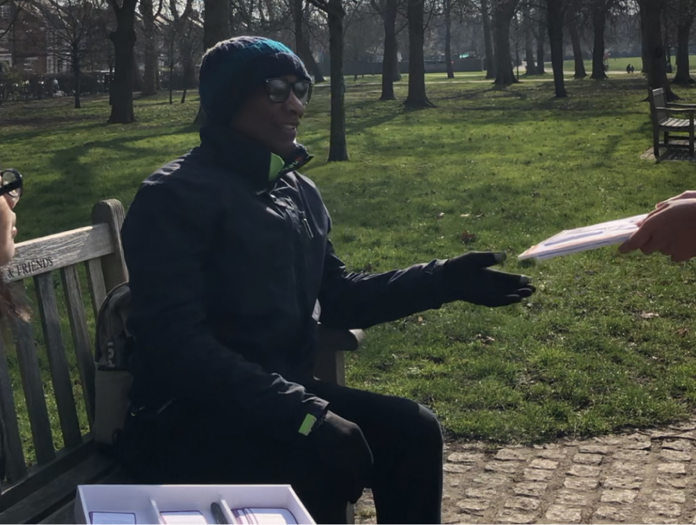
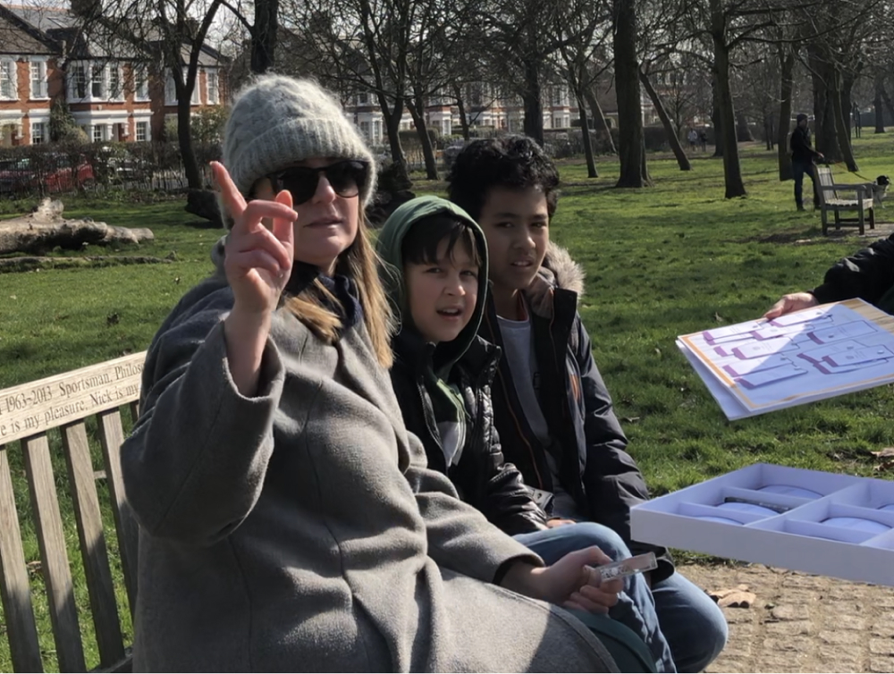
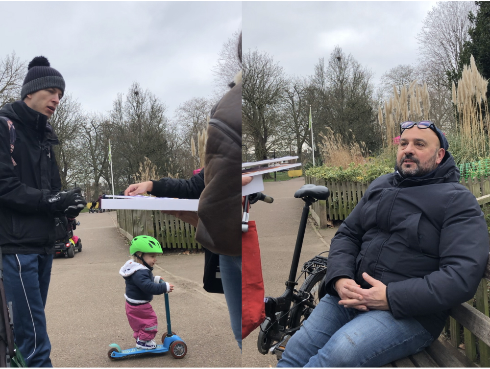
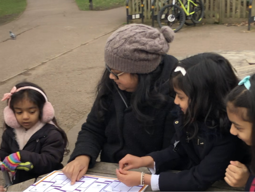
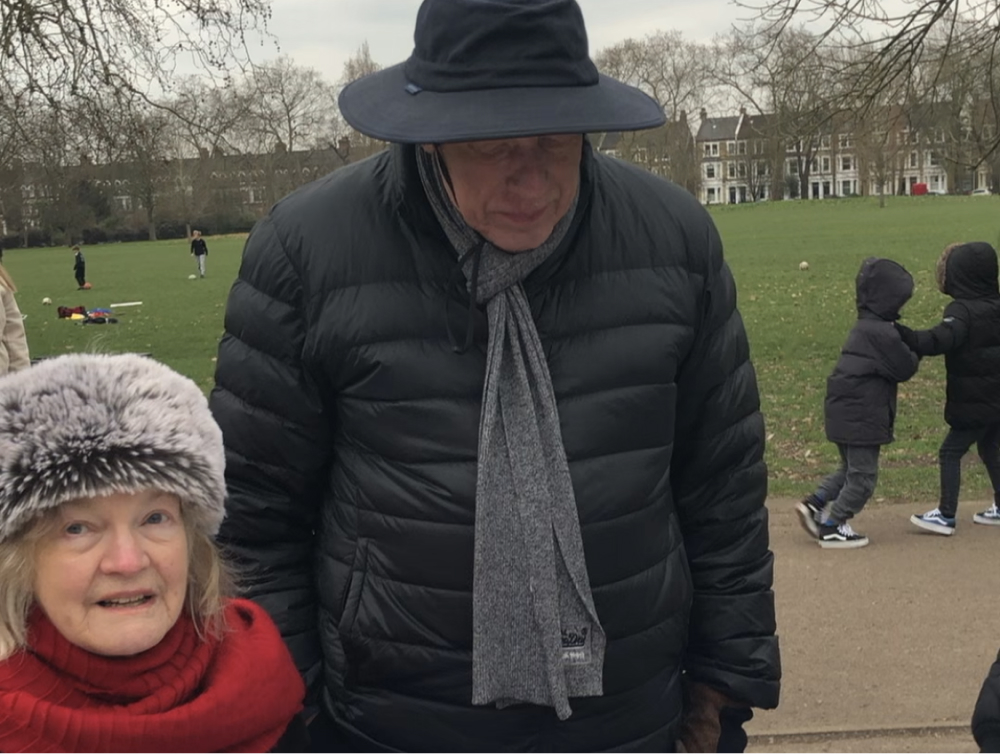
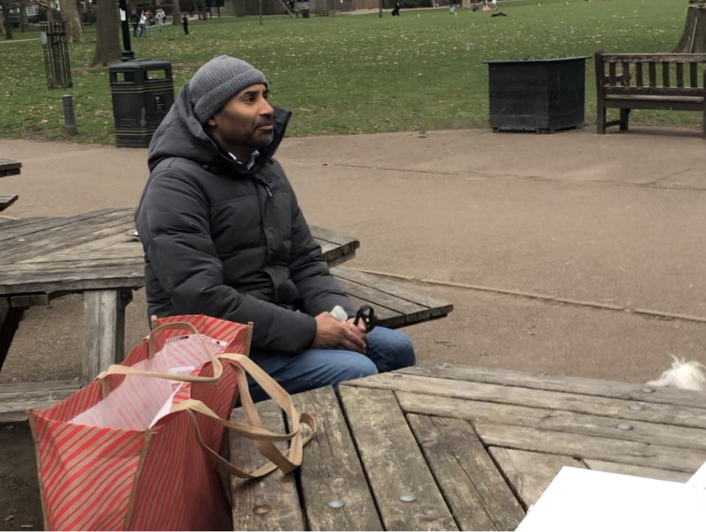
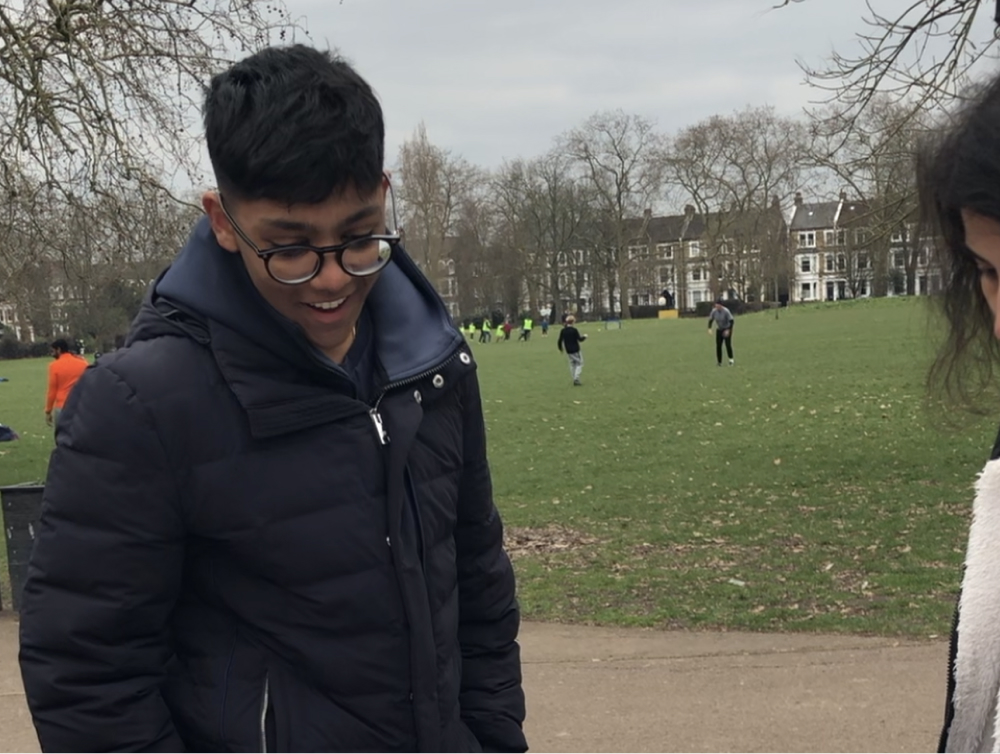
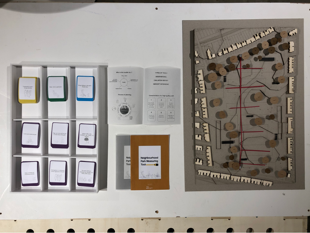
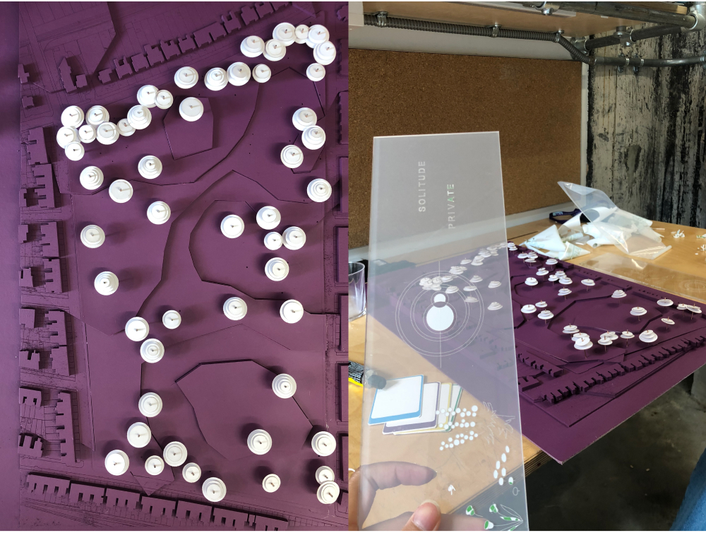
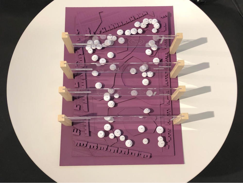
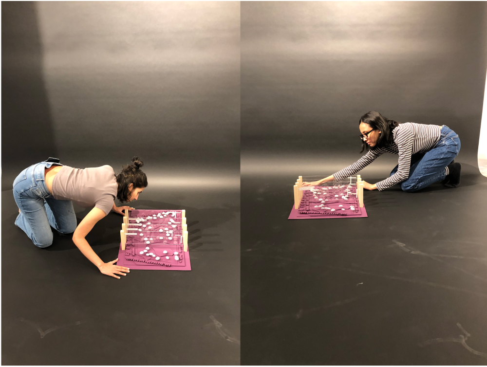
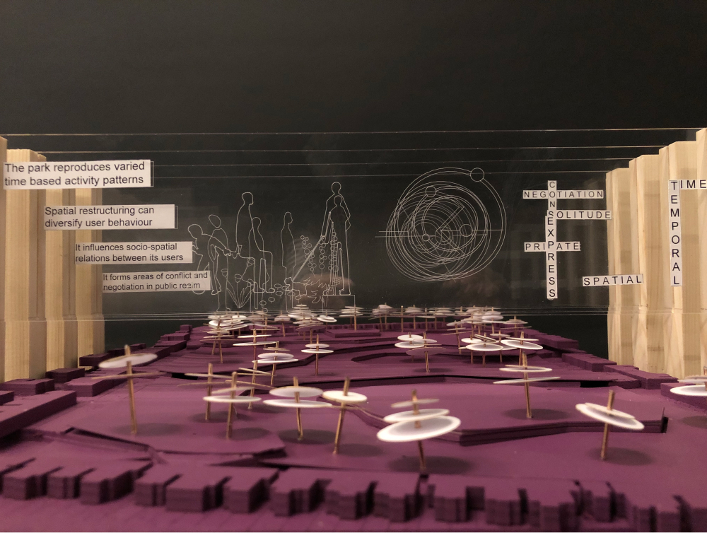
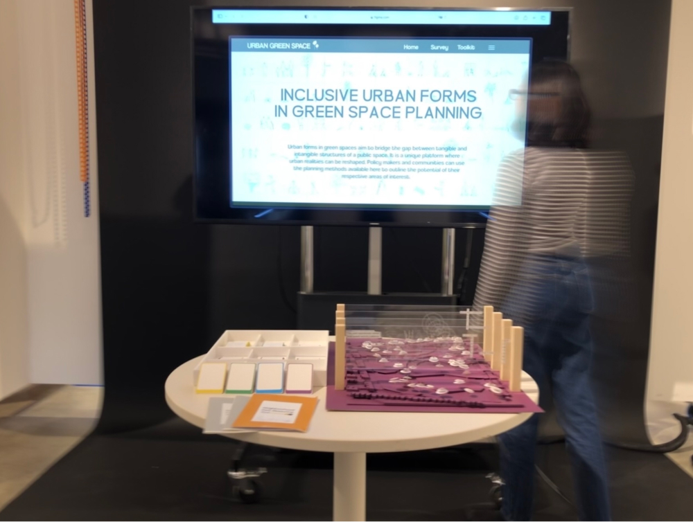
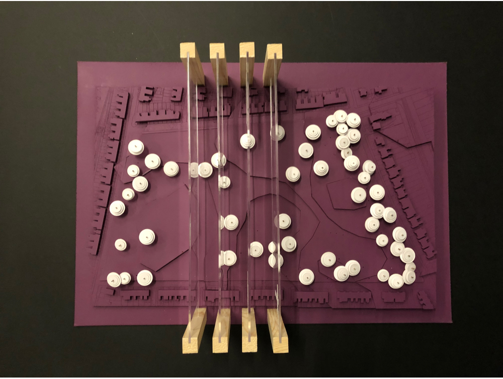
The process of collecting and organizing data has been an intense exercise with a recognition that green spaces are a complex urban system within themselves. The initial attempt at physical spatial restructuring was reviewed with a deeper understanding of the site and how people act on it. Urban allotments may seem like a financial proposal, but they create a certain public-private interface between its users and the rest of the park.
We recognize that parks and green spaces can be both community anchors and spaces of solitude. The juxtaposition of private and public in the urban realm and the re-appropriation of underused public spaces is an approach that should be developed further.
References
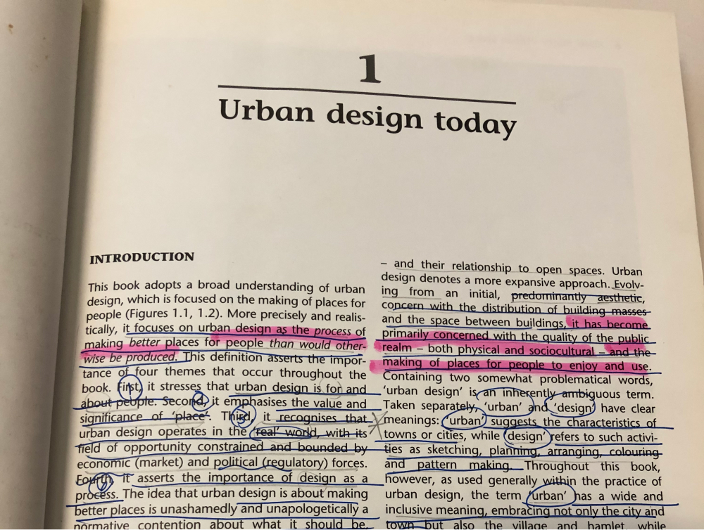
This collaborative project is supported by literatures, academic findings, and recent case studies.
URBAN GREEN SPACE
This project was collaboratively developed by two of postgraduate students of MA Architecture and Historic Urban Environments 2022/2023 program at the Bartlett School of Architecture, University College London.